Manage GPS Settings
You can fine-tune the many location-related details to get the accurate, precise data you need. Access the location settings from the menu.
- Android or iOS―Select Connect & Manage GPS > Location Settings.
- Windows―Select Settings > Location Settings.
Tap  when you make any changes to the location settings. Unsaved changes are marked with *.
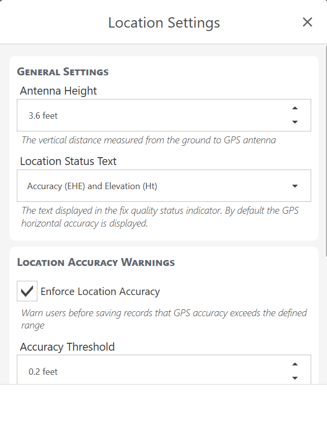
The following sections describe how to customize the location settings.
Set General Settings
Enter Antenna Height
You will most likely be collecting your data in Uinta with a receiver that is above ground level. Enter the receiver's height above ground level to collect more precise data. The default value of Antenna Height is 0 feet.
Customize Location Status Text
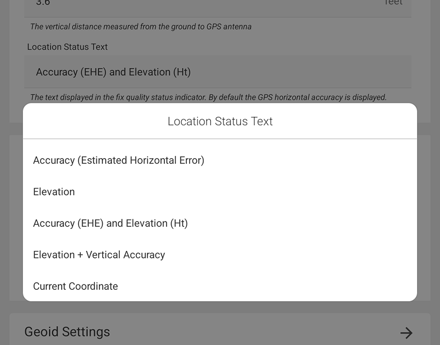
Customize the text displayed in the fix quality status indicator. Select one of the following:
- Accuracy (estimated horizontal error)—default
- Elevation
- Accuracy (EHE) and Elevation (Ht)
- Elevation + Vertical Accuracy
- Current Coordinate
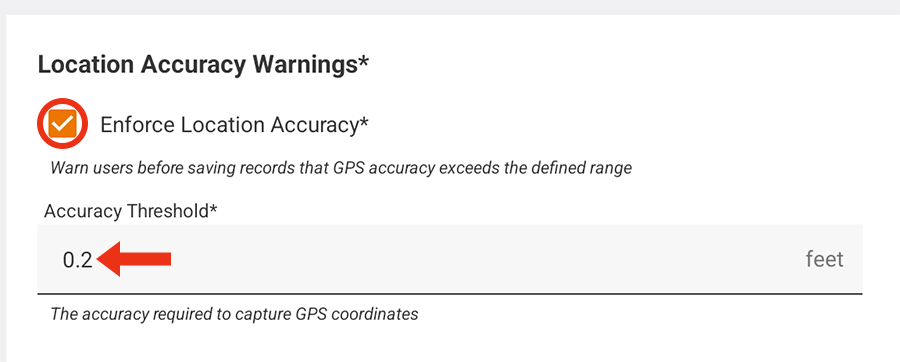
Activate Location Accuracy Warnings
Enable Enforce location accuracy to be warned if the GPS accuracy exceeds the defined accuracy threshold. After the warning appears, you can choose whether to save the location that exceeds the accuracy threshold.
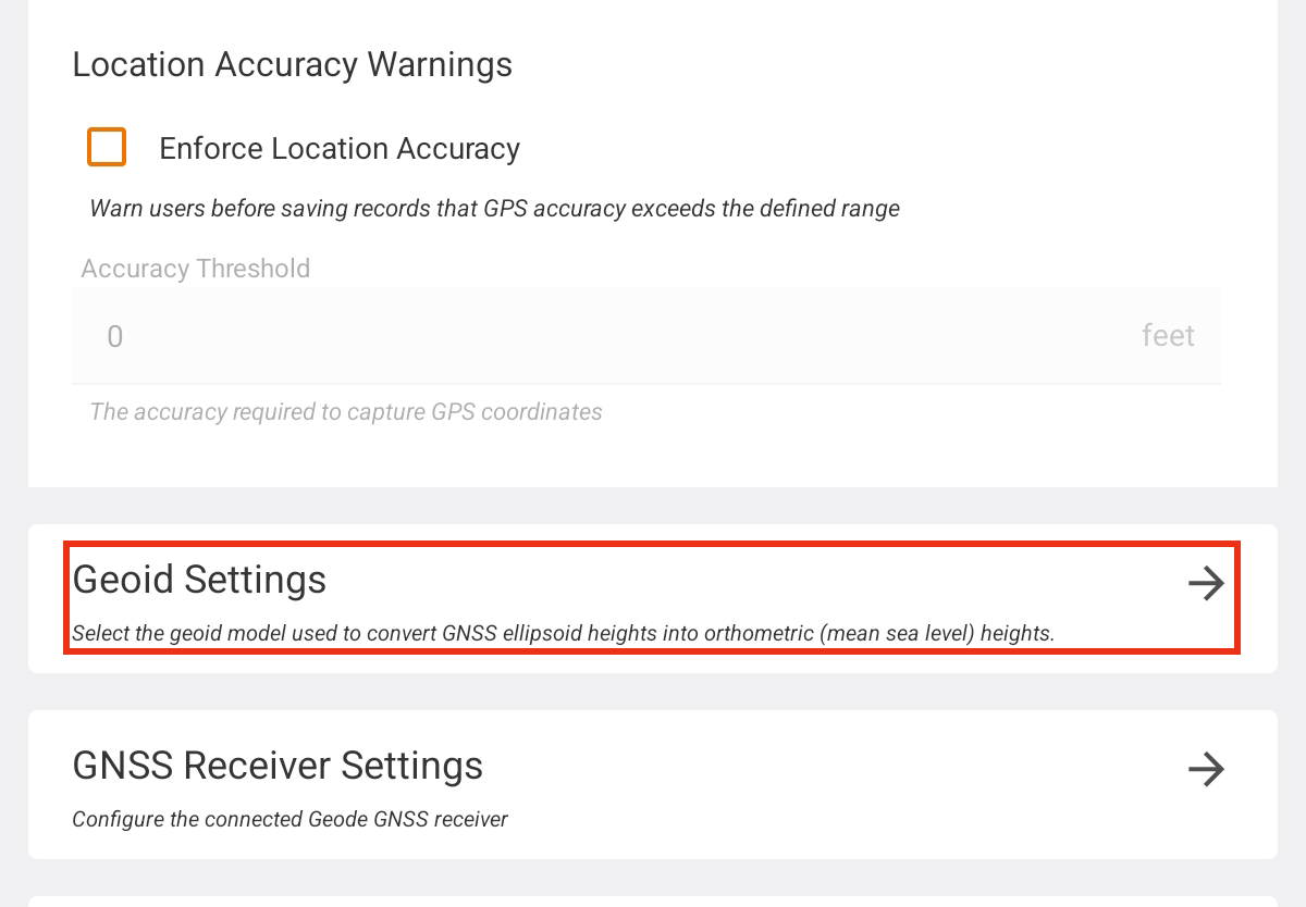
Manage Geoid Settings*
Uinta allows you to download a full, specific geoid to use on your Windows/Android/iOS device as you collect data. A downloaded geoid will give more accurate orthometric heights, i.e., the elevation above sea level. To specify the geoid, Uinta must be connected to a location source, such as a GPS receiver or the Android internal GPS.
Uinta does not require downloading a geoid because your receiver will have a simplified geoid model built in. If your data will benefit from more accurate orthometric heights, we recommend you download a geoid.
Note: This setting is not available when connected to Location Services on iOS and Windows devices.
Download a Geoid
To download a geoid, you will need to be connected to a receiver and have an active internet connection. From Location Settings:
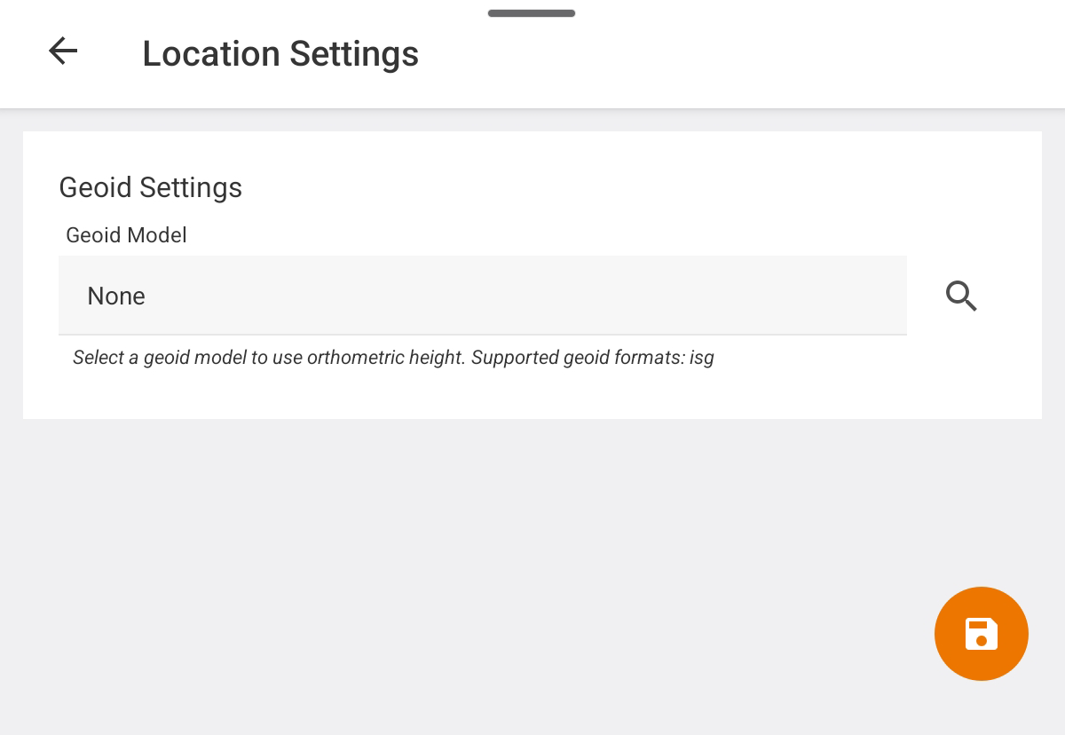
- Tap Geoid Settings.
- Tap
 to search for a geoid.
To narrow the list, filter by current location or search for a specific geoid.
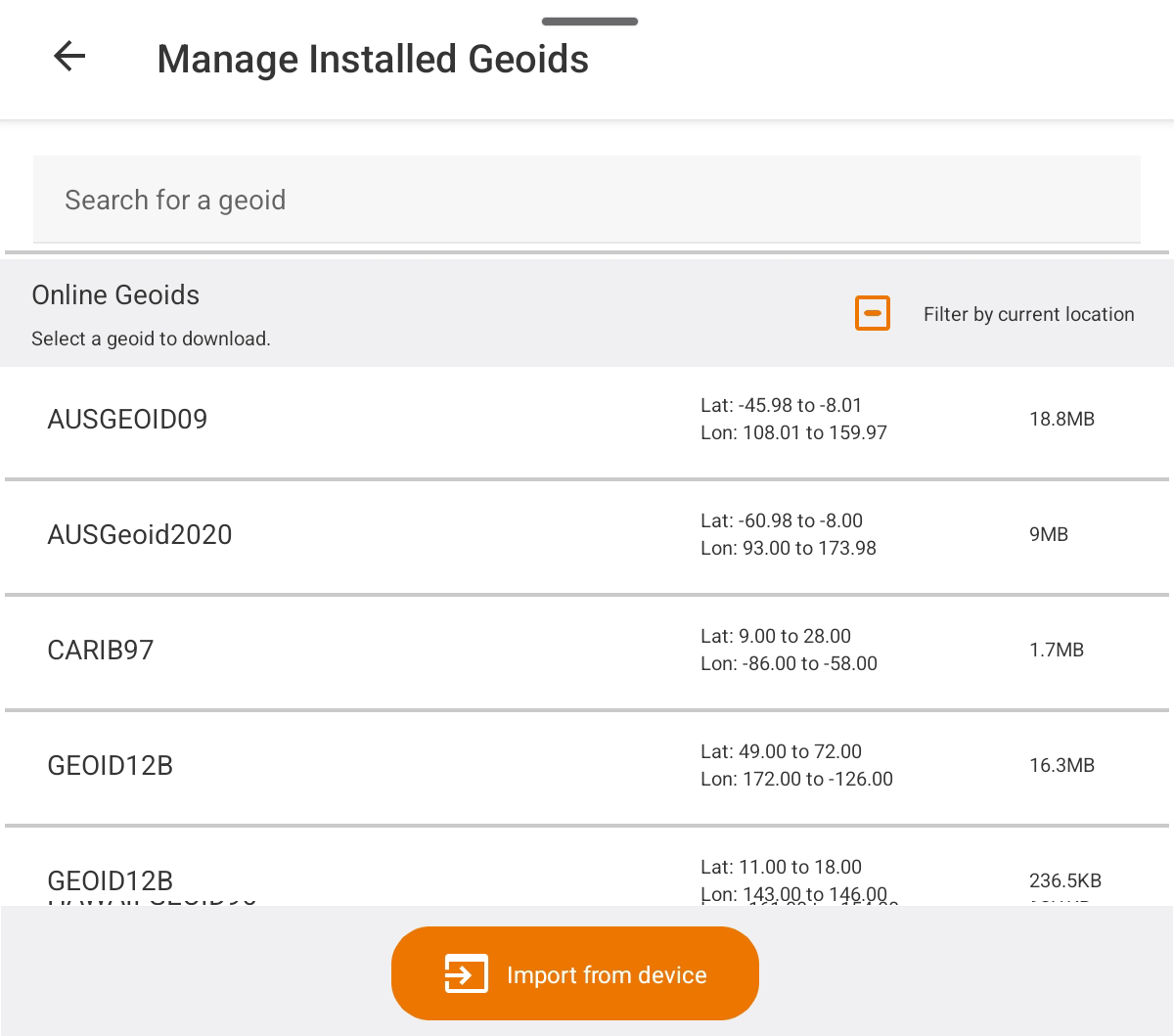
- Select the geoid. Tap Download.
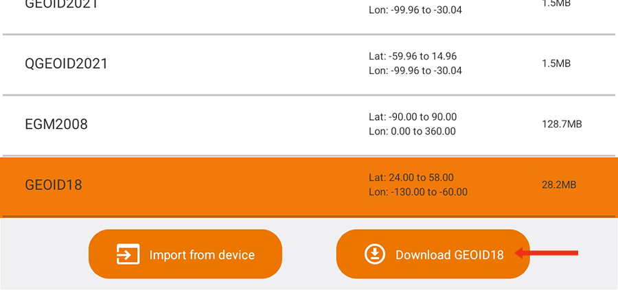
- Tap Download again to confirm.
- Tap
 .
.
The downloaded geoid will show as the Geoid Model.
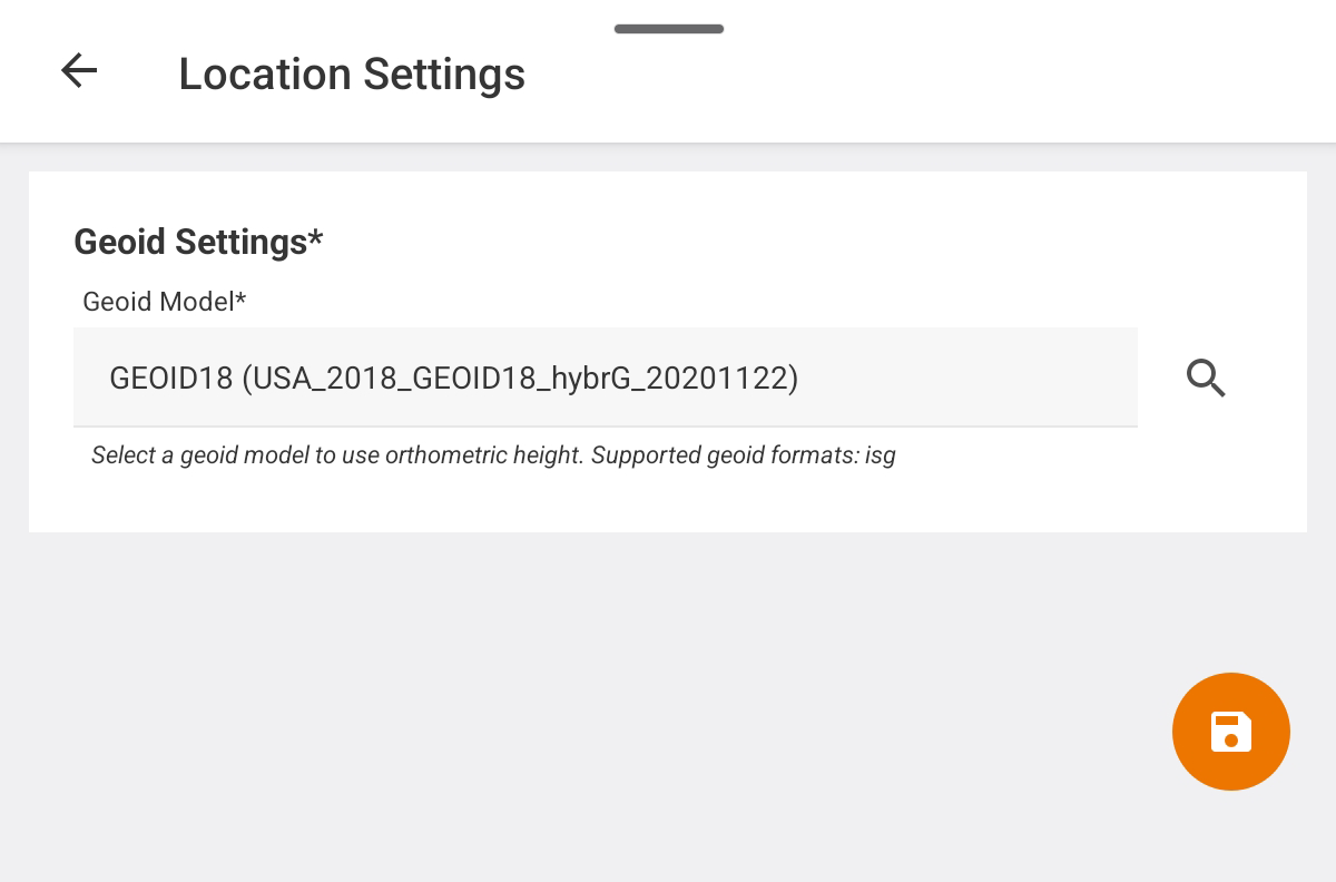
- Tap .
Once a geoid is selected and saved, data collected will include the elevations from the geoid.
Select a Downloaded Geoid
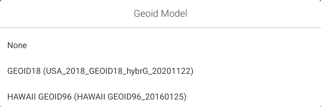
To choose a downloaded Geoid:
- Tap the Geoid Model field.
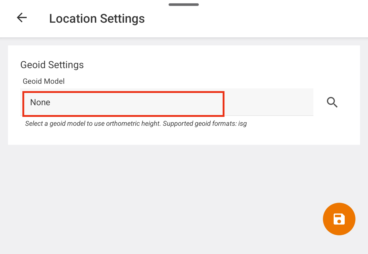
- Select the desired geoid.
- Tap to save the selected geoid.
Delete a Geoid
To delete a geoid:
- Select it from the list of downloaded geoids. Tap Delete.
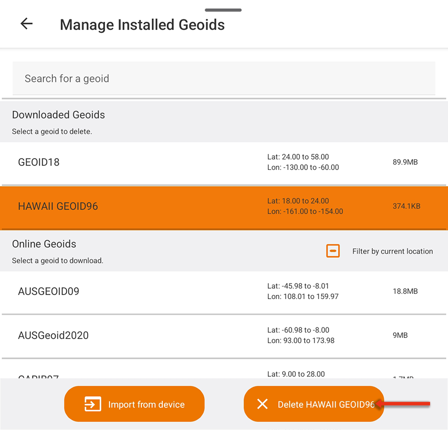
- When asked to verify, tap Delete.
Additional information on spatial reference systems can be found in our knowledge base.
GNSS Receiver Settings*
To change the GNSS receiver settings, Uinta must be connected to a Juniper Systems receiver.
- Tap GNSS Receiver Settings.
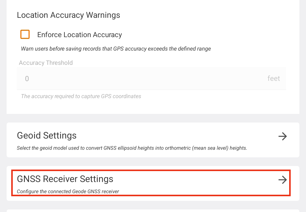
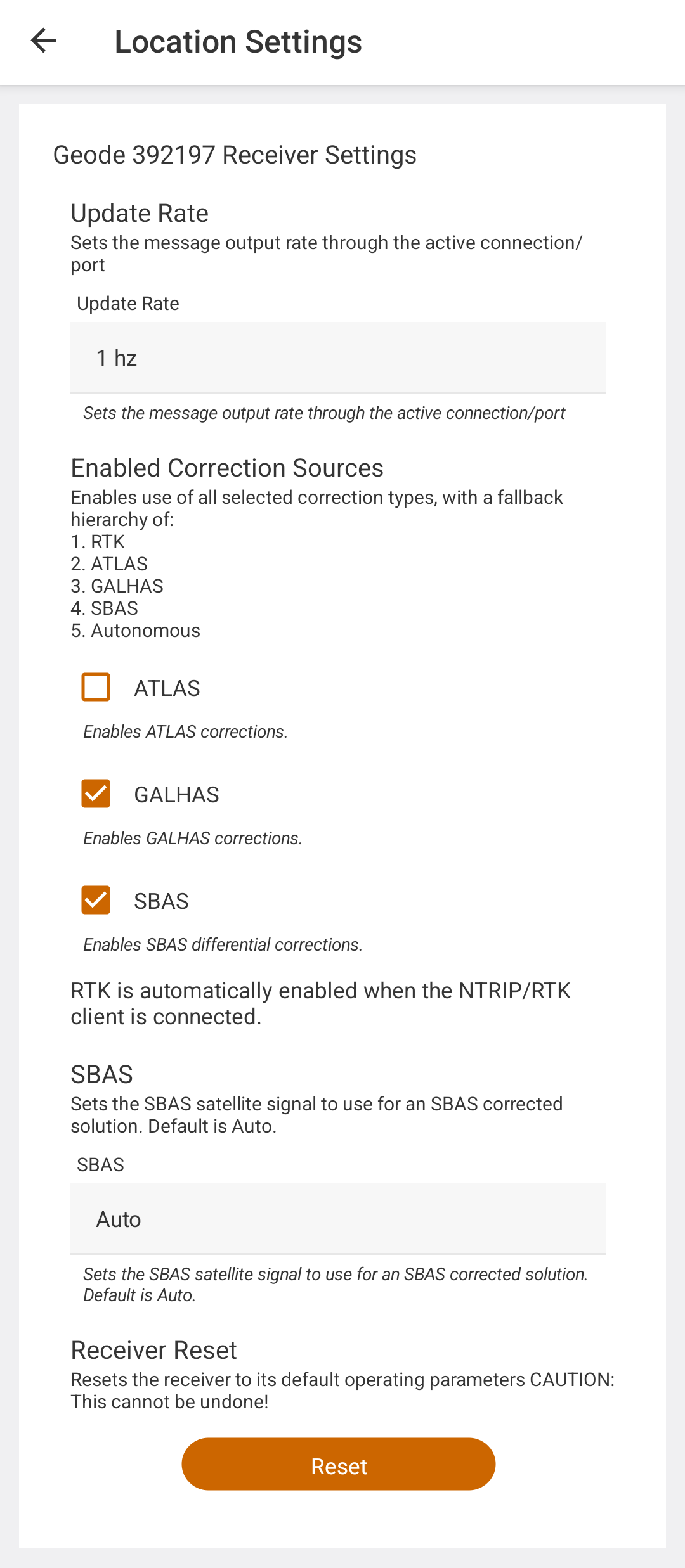
Uinta opens Receiver Settings.
|
Receiver Settings |
||
|---|---|---|
| Parameter | Default Value | Description |
| Update Rate | 1 Hz | Sets the message output rate through the active connection port |
|
Enabled Correction Sources |
SBAS
|
Select the correction source(s) to enable. The available correction sources are determined by your GNSS receiver model. Note: When ATLAS is an available selection, it can only be enabled and saved if you have a valid subscription. |
|
SBAS |
Auto |
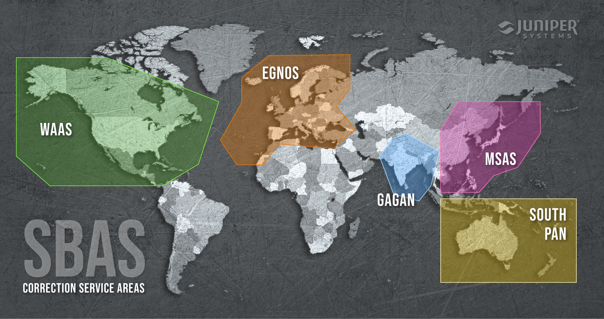
Sets the SBAS satellite signal to use for an SBAS-corrected solution. Options are
Auto works well in most areas because SBAS services generally cover different regions. However, in areas of the world where the SBAS coverage overlaps, select a specific service to prevent the receiver from switching between services and introducing significant data errors due to differences in reference datums or models. The following map shows the coverage areas for SBAS satellite constellations. |
| Receiver Reset |
Resets the receiver to its default operating parameters.
|
|
 Caution: This cannot be undone!
Coordinate Systems
Uinta displays coordinate values in the World Geodetic System 1984 (WGS84) Latitude/Longitude (4326) format by default.
Note: The display projection is WGS84 Pseudo-Mercator/Web Mercator (EPSG 3857) which creates a smooth rendering of maps and map tiles. For display purposes, when fully zoomed out the map projection repeats to create a continuous scrolling map.
If you would like the coordinate values to be displayed in Uinta in a format other than WGS84, specify it in Location Settings. Note: The coordinate system that you choose to display does not impact the data that is collected, corrected, or stored.
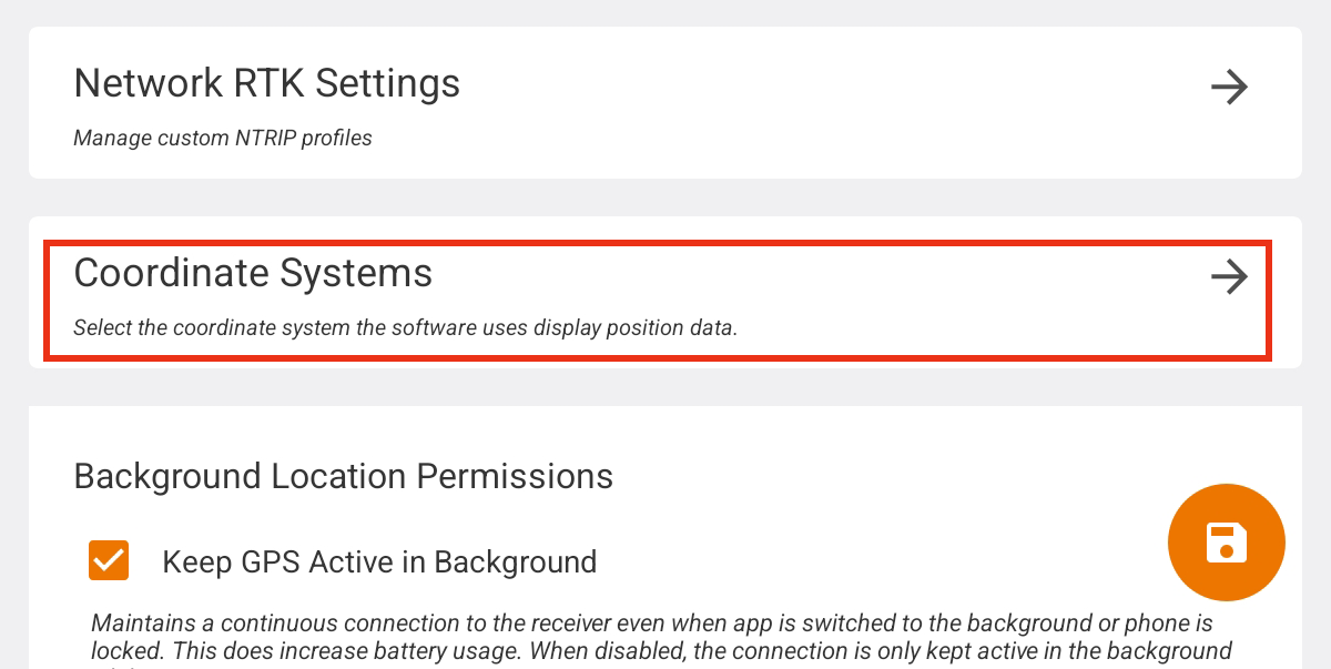
- Tap Coordinate Systems.
- Tap Displayed Reference Systems field.
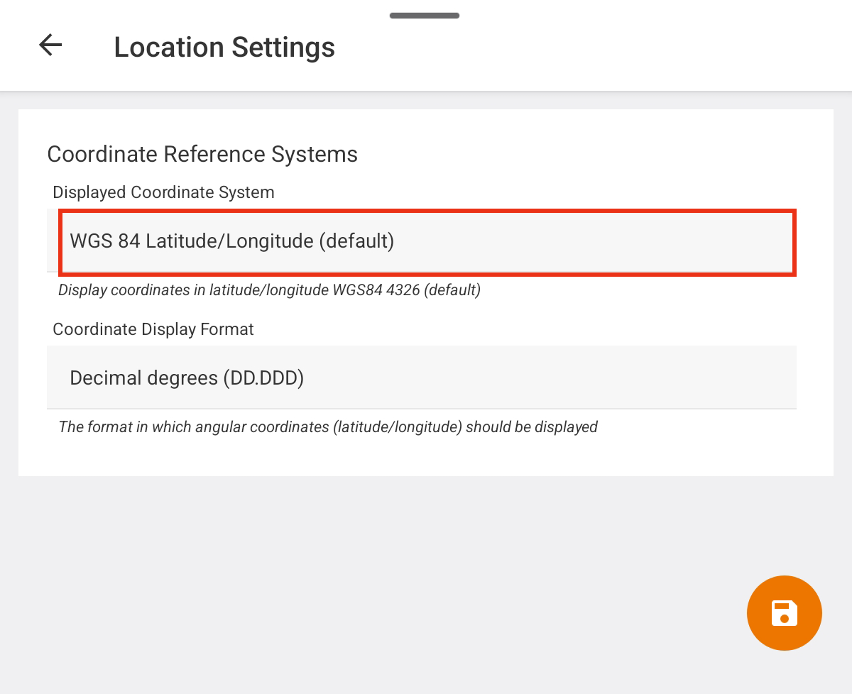
- Select your preferred format for coordinates.
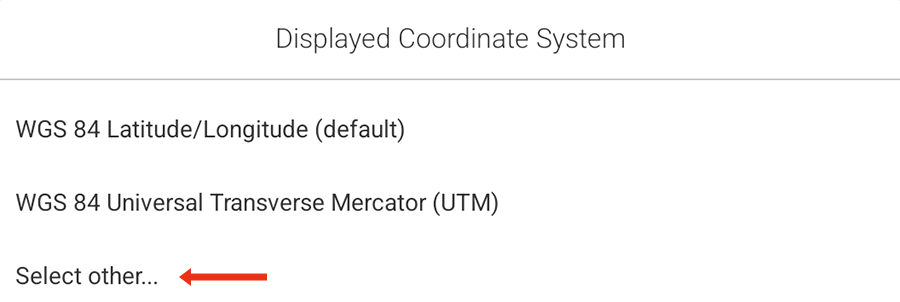
To find a coordinate system that isn't listed, tap Select other....
- Locate your desired coordinate system. Options are listed by the Spatial Reference Identifier (SRID) based on European Petroleum Survey Group (EPSG) codes. Narrow the list by applying a filter or searching by SRID or name. Tap to select your desired coordinate system. Tap the orange button at the bottom to apply it.
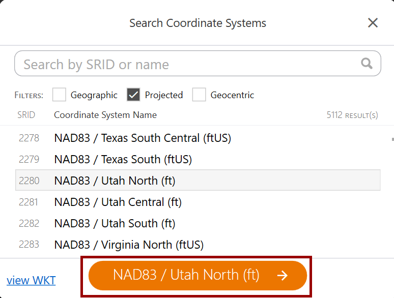
- Locate your desired coordinate system. Options are listed by the Spatial Reference Identifier (SRID) based on European Petroleum Survey Group (EPSG) codes. Narrow the list by applying a filter or searching by SRID or name. Tap to select your desired coordinate system. Tap the orange button at the bottom to apply it.
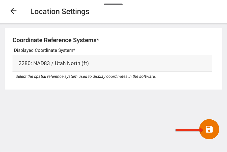
- Tap to save your chosen coordinate system.
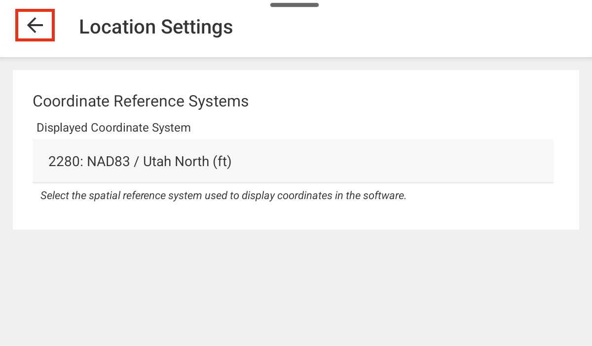
- Tap
 to return to Location Settings.
Coordinate Display Format
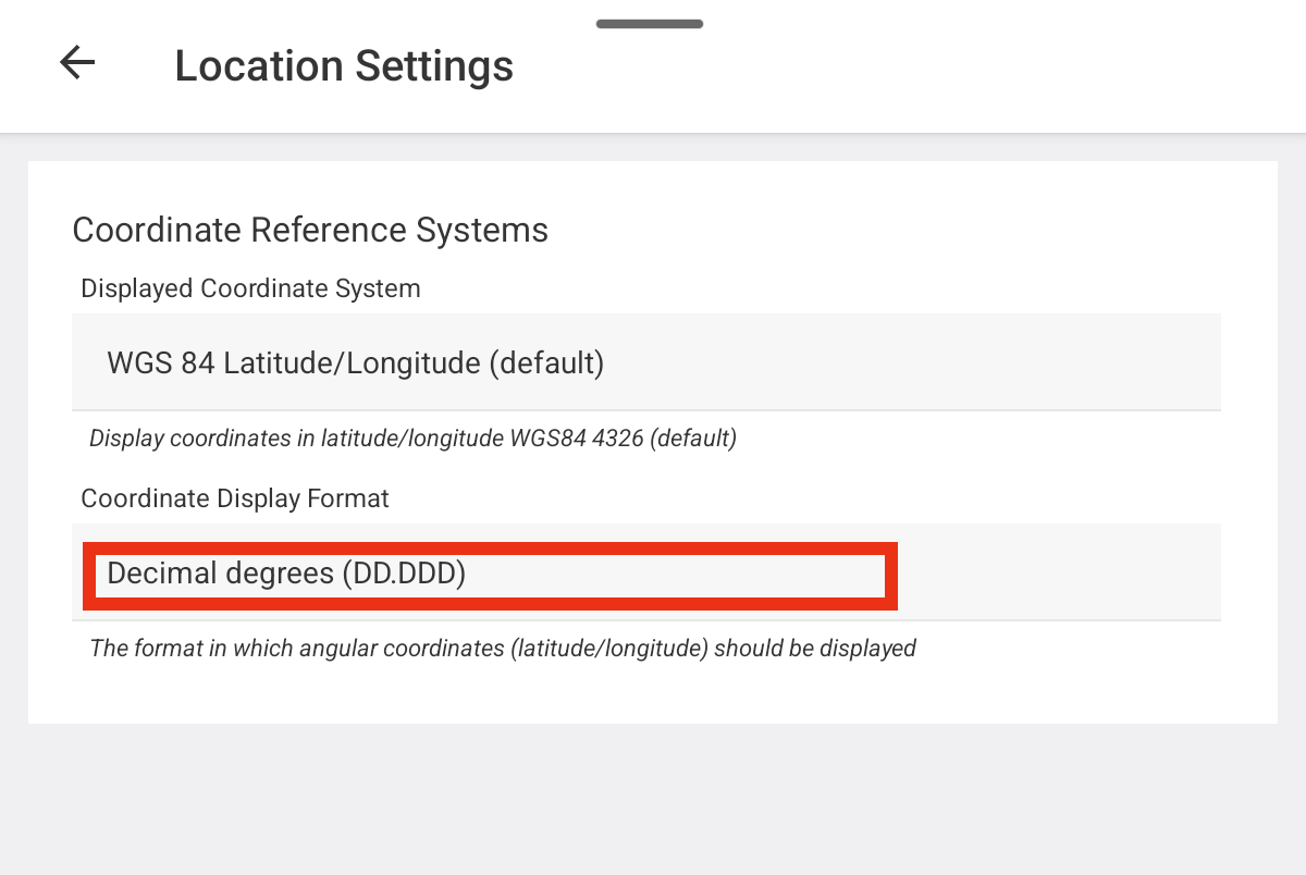
When the displayed coordinate system includes a variety of display options, this field appears. If there are no options available in the chosen coordinate system, this field is hidden. The default format is Decimal degrees (DD.DDD).
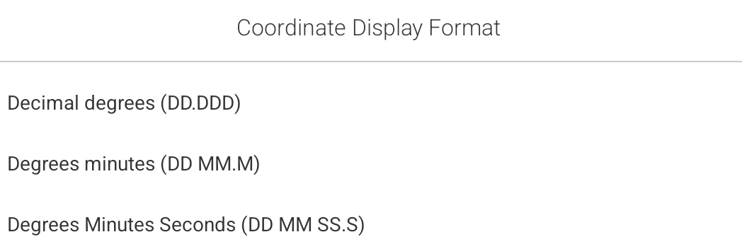
To change the format of the coordinate values displayed in Uinta:
- Tap Coordinate Display Format field.
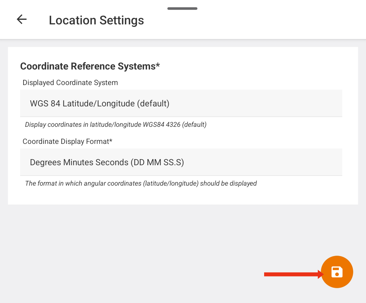
- Tap to save your chosen coordinate system.
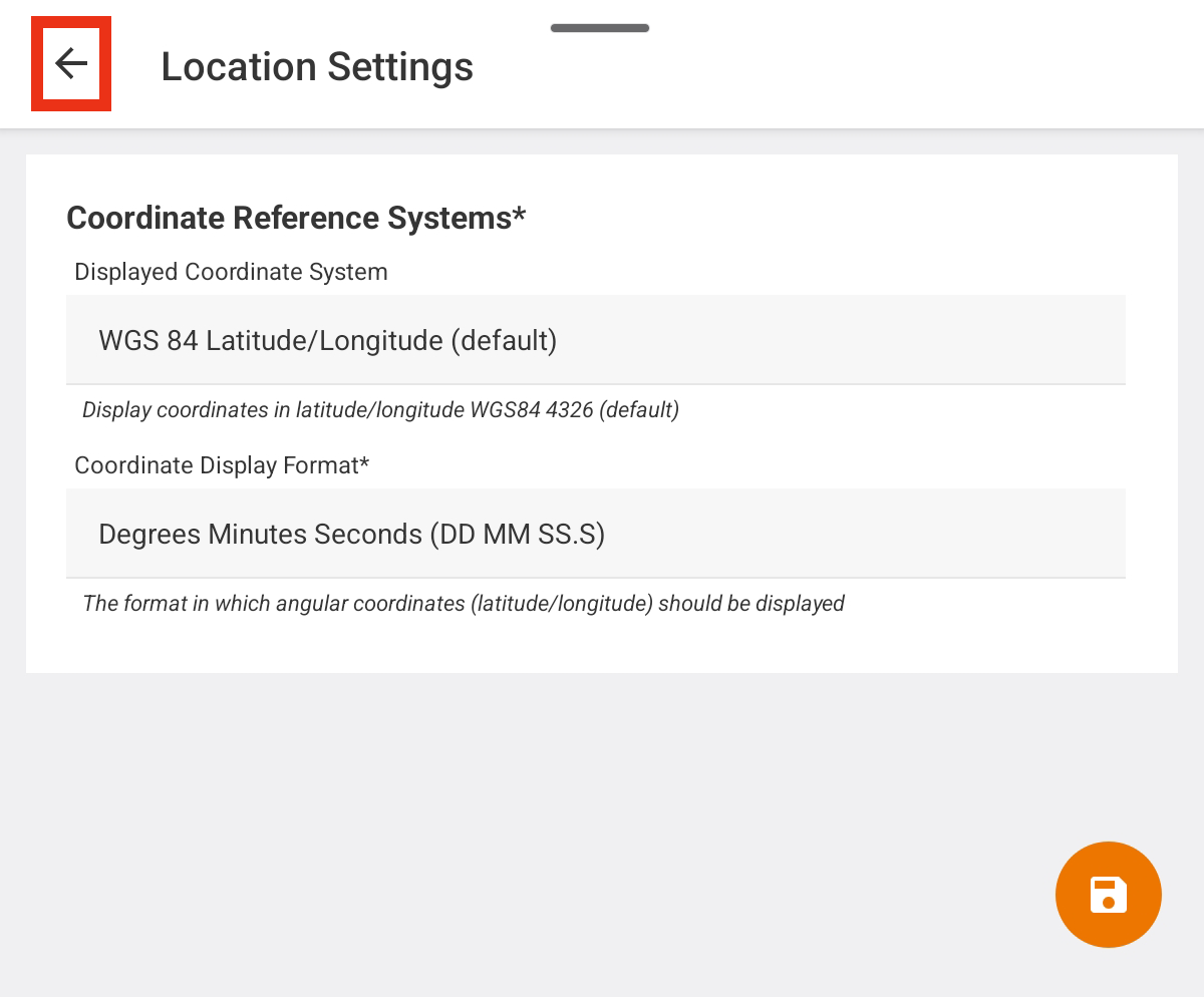
- Tap to return to Location Settings.
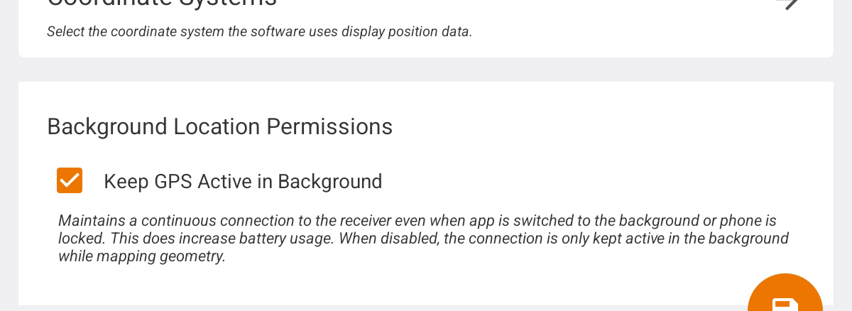
Set Background Location Permissions (Android)
On Android devices, Uinta maintains a continuous connection to the receiver even when the app is switched to the background or the device is locked. Maintaining the continuous connection increases battery usage. To conserve battery life, deselect Keep GPS Active in Background, and the connection is kept active in the background only while mapping geometry.
Monitor the GPS Receiver Accuracy
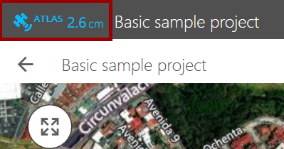
The GPS icon, located in the title bar in Windows or at the bottom of the screen in Android or iOS, shows the fix quality and the accuracy of the receiver.
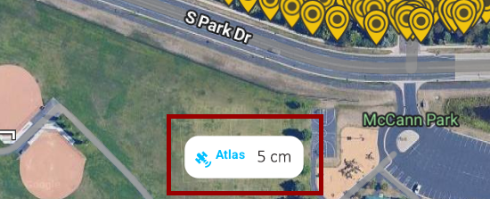
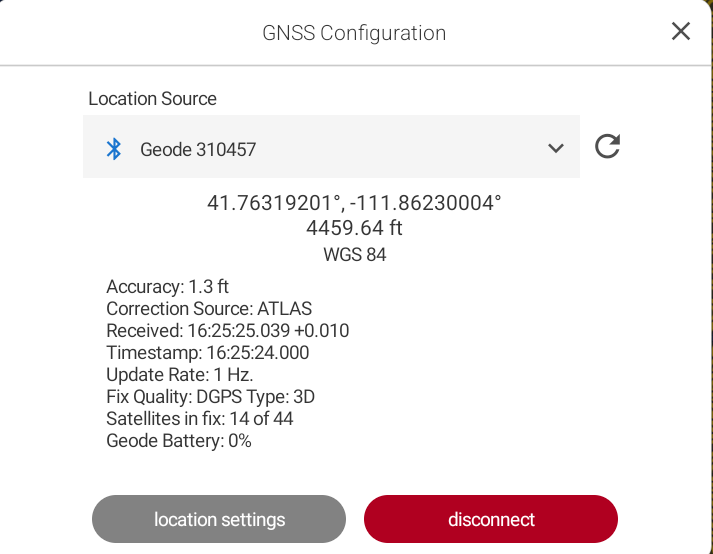
Tap the GPS icon to view additional details about the GPS receiver, including the accuracy, correction source, fix quality, and battery charge level.
Understanding the GPS Icon Colors
The color of the GPS icon is based on the fix quality.
| GPS Icon Colors | ||
| Fix Status | Position Available | |
| Valid Fix | Yes |  |
| Invalid Fix | No |  |
| No Fix | Yes |  |
| Network-based position |  |
|
Disconnect the GPS Receiver
To disconnect the GPS receiver:
- Tap the GPS icon, located in the title bar in Windows or at the bottom of the screen in Android or iOS.
- Tap Disconnect.
Use Uinta to Auto-Configure Geode
If you are using Uinta and connect to a Geode GNSS receiver, you may be prompted to auto configure the Geode.
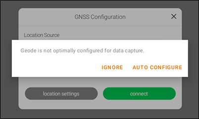
Auto Configure applies the following recommended settings for using the Geode with Uinta.
| Settings | |||
| Configure Geode Category | Auto Configure Settings for GNS3 |
Auto Configure Settings for GNS2 |
Notes |
| Active GNSS Constellations |
GPS Multi-GNSS |
GPS Multi-GNSS |
|
| NMEA |
RD1 GGA GNS GSA GST GSV RMC |
RD1 GGA GNS GSA GST GSV RMC |
|
| Update Rate | 1 Hz | 1 Hz | |
| Advanced Section | |||
| NMEA Precision | 8 | 8 | |
| Mask Angle | 10 | 10 | |
| Correction Source | Auto | N/A | For more information, see Geode is not Seeing Satellites. |
| SBAS | Auto | Auto | |
| Receiver Mode |
Mixed Null NMEA |
Mixed Null NMEA |
Turn off Mixed to get the greatest accuracy. See Default and Recommended Settings for Geode for more information. |
|
Battery Status Sentence |
10 seconds | 10 seconds | |